

Mohave County
AZGenWeb

[Yuma County] CLIMATE AND HEALTH. — The climate from June to October is extremely warm, the themometer often showing in the shade from 115 deg. to 120 deg. of heat, but singular to say, probably owing to the dryness of the atmosphere, there has never been known a case of sun stroke, and it is unusually healthy, being singularly free from malarious diseases, and invalids inflicted with bronchial or lung disease are always benefited, and often cured, by a change to this climate. From October to June the climate is mild and salubrious, and hardly excelled anywhere.
MOHAVE COUNTY. — This county is formed out of the northwestern part of the
Territory, and is bounded on the west by the Colorado river. The remarks
heretofore made of the river valley in Yuma county will apply to this county.
The county lying east of the Colorado river is generally rolling and hilly,
covered with nutritious grasses and an abundance of wood and timber. Stock
thrives the year through without prepared food. There is a free pasturage in
this county alone, yet unoccupied, for immense herds, and many valleys of
excellent agricultural lands.
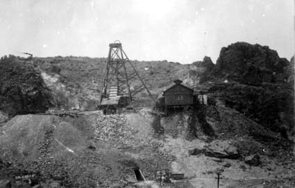
MINES. — It has been known since the
organization of the Territory, that nearly all the mountains in this county
contained lodes of gold, silver, copper and lead, and, in 1863, an attempt was
made to develope and work some of these lodes ; some machinery was erected and
considerable money expended, but as has been the case in nearly all new mining
counties, hostility of Indians, extravagance, want of experience, etc., the
investments proved disastrous, and the mining interest has been paralyzed, until
within the past few months. Recently a few practical miners undertook the task
of giving new life to this abandoned and almost forgotten field. Upon
development, a number of lodes of gold and silver have been found, rich and
extensive. A population of about five hundred miners have already accumulated in
the Wallapai mining district. Machinery is being erected, roads built, and mines
developed with a good prospect of excellent returns.
The inhabited places
of the county are Mohave City, located on the Colorado river ; Hardyville, six
miles above, and the Wallapai mining district.
TRADE. — Goods are
principally shipped up the Colorado river, and landed either at Mohave or
Hardyville, although wagon trains are constantly running from Los Angeles with
goods for this section and the interior.
Steamers often go up the river
with goods as high as El Dorado Canon, and several years since one did go as
high as Callville.
CLIMATE AND HEALTH. — The same remarks made in
connection with this subject of Yuma county, will apply to this county, except
the northern and eastern portions are cooler.
Contributed 2025 May 18 by Norma Hass, extracted from 1871 Resources of Arizona Territory by Legislative Assembly of Arizona, pages 8-9
Mohave is purely a mineral region. Its agricultural resources are confined to
a strip of land along the Big Sandy, and to the valley of the Colorado. There
are portions of the county which afford good grazing, but mining must be its
main, and we had almost said, its only industry. Almost every mountain range
within its borders is seamed with rich veins of gold, silver, and copper. The
distance from supplies, the cost of freight, and the want of proper reduction
works, have hitherto prevented the proper development of Mohave's vast mineral
wealth. The building of the Atlantic and Pacific railroad, which will pass
through the center of the mining region, assures for this county, so long
isolated and neglected, a bright future. The silver ores of Mohave are mostly
sulphurets, carrying native silver, ruby silver, silver glance, and other rich
combinations. Chlorides are also found, and some rich argentiferous galena. The
veins are nearly all inclosed by well-defined walls. Water and wood are abundant
in nearly every locality. A band of prospectors entered Mohave county in 1858,
and explored the mountain ranges near the Sacramento valley. It was not until
1863, however, that any real work was done; but the hostility of the Hulpai
Indians, who killed many miners in their shafts, compelled the abandonment of
the country. In 1871 and 1872 the first permanent improvements were made. Since
then Mohave county has struggled against every obstacle and disadvantage which
her remote situation naturally entailed. The lack of reduction works
necessitated the shipping of the ores to San Francisco, at an enormous expense.
Ores that would not go $500 per ton left no profit for the owner. Despite these
drawbacks, the county has steadily advanced; the great richness of its mines has
been proven conclusively, and they only await the benefits of cheap
transportation to become steady bullion-producers.
Hualapai District—This
district is situated in the Cerbat range, about 35 miles from the Colorado
river. The formation is granite and gneiss. Wood is plentiful, and water in
sufficient quantities for milling purposes. The veins are of fair size, and the
ore is of high grade. The Lone Star has been worked to a depth of 200 feet, and
is opened by over 300 feet of levels. It shows a vein of rich ore over 18 inches
in width that assays $150 per ton. The ore is concentrated and shipped to San
Francisco. It is a sulphuret, carrying considerable metal. This mine has
produced over $60,000. It has steam hoisting-works. The Keystone has a shaft 260
feet, one of 150 feet, and over 400 feet of levels, drifts, winzes, etc. A
five-stamp mill, with roaster, has been erected on the property, and also steam
hoisting machinery. The mine shows a 2-foot vein of sulphuret ore, that has
worked $100 per ton. The property is owned by the New York Mining and Milling
Company, and has produced over $100,000. The Fairfield is a 5-foot vein that
assays $60 per ton. It has a shaft 185 feet. A tunnel is being pushed to strike
the vein, which is now in 1,000 feet. The Stark and Ewing is an extension of the
Keystone. It shows a 5-foot vein, and has a shaft 40 feet. The Ithaca has a vein
ranging from 1 to 2 feet of chloride ore, assaying $70 per ton. It is opened by
500 feet of shafts, drifts, and tunnels. It has produced about $12,000. The
Rattlesnake has a 70-foot shaft and a 75-foot tunnel. It shows 3 feet of
chloride ore worth $50 per ton. All these claims are in the immediate vicinity
of Mineral Park. About four miles north is the camp of Chloride, which shows
rich ores and large veins, among which may be mentioned the following: The
Connor, a 3-foot ledge, assaying $100 per ton. It has a shaft 100 feet, carries
both gold and silver, and has produced $20,000. It is owned by the Arizona
Northern Mining Company. The Empire has a vein of rich sulphurets, and has
turned out $10,000. The Schuylkill is a 3-foot vein of carbonate ore, assaying
from $50 to $75 per ton. It is opened by two shafts, one 65, and the other 40
feet. The Schenectady has a shaft 80 feet, with a 3-foot vein, running from $50
to $70 per ton. The Valley View is a large vein, running from 8 to 10 feet wide,
with an average of $40 per ton. It is opened by three shafts and one tunnel. The
San Antonio has a shaft 50 feet; a vein 2½ feet wide of free-milling ore, worth
$100 per ton. The Donohue and the Rogers are also fine properties, and have
produced about $18,000 each. In Todd's basin, about four miles south of Mineral
Park, there is a group of mines which have considerable work done upon them. The
most prominent are the Todd, a 4-foot vein of sulphuret ore, going about $60 per
ton. The Oro Plata has a tunnel 100 feet, and several drifts and shafts. It has
a 4-foot vein of free-milling ore, that goes over $50 per ton. It has produced
$30,000. The Mariposa shows 18 inches of chloride ore, worth $150 per ton. It
has two shafts, 40 and 30 feet, and has yielded $10,000. The Paymaster is a vein
3½ feet wide, assaying $60 per ton. A shaft has been sunk 50 feet. The mine has
yielded $15,000. The Silver has a shaft 35 feet, and a body of ore 3 feet wide
that averages $80 per ton.
Cerbat is about seven miles south of Mineral
Park, in the mountain range of the same name. The country formation is granite.
Wood is abundant, and water in quantities sufficient for ore reduction. The ores
are generally of a high grade, but most of them carry sulphurets and require
roasting before being milled. The Cerbat claim has a 4-foot vein that assays
$100 per ton.
The ore is a sulphuret, carrying horn silver. It is opened by a
shaft of 120 feet, and by two drifts, 80 and 65 feet. The ore carries gold and
silver. A complete five-stamp mill with a roaster attached, has lately been
erected. The mine has produced $25,000 from steam arrastras. The property is
owned by the Arizona Northern Mining Company. The Fontenoy shows a vein 2½ feet
wide that assays $125 per ton. The ore is a chloride of silver, and the mine has
already yielded over $30,000. It is opened by two shafts, 110 and 75 feet,
respectively, and a tunnel 65 feet. The Seventy-eight, formerly known as the
Sixty-three, carries a vein of chlorides from 1 to 3 feet wide. Ore from this
mine, shipped to San Francisco, has yielded, on an average, $350 per ton. The
mine has produced in the neighborhood of $300,000. The claim is opened by 300
feet of shafts and 700 feet of tunnels. The Silver shows a vein from 2 to 4 feet
wide, that assays $80 per ton. It has a shaft 80 feet and 50 feet of tunnels.
The Flagstaff is opened by two shafts, one of 150 feet, and another of 100 feet.
It has a vein 3½ feet wide that averages, by assay, $70 per ton. The Gold Bar
has a 3-foot vein of gold quartz and a shaft 200 feet deep. Ores from this mine
have been worked by arrastra process with satisfactory results. The Black and
Tan is opened by a tunnel 250 feet in length, and a shaft 75 feet. It shows 2
feet of ore that assays about $100 per ton, and has yielded $20,000. The Flores
has a vein of free-milling ore 3 feet wide, working $50 in gold, and $20 in
silver. It is opened by a shaft 95 feet deep and a tunnel 200 feet in length. It
has produced nearly $35,000, the ore being worked in arrastras. The Vanderbilt
has one shaft 90 feet and another 50 feet. It carries gold and silver. The vein
is about 2 feet wide, and the ore assays $70 per ton. The Tulare has 4 feet of
ore that assays $50 per ton. It is opened by a shaft 110 feet, and has produced
over $10,000 in gold and silver. The Bay State is a carbonate ore. Its vein is 4
feet, assaying $40 per ton. It has 3 shafts, 90, 80, and 30 feet. The New London
shows 3 feet of galena ore, worth $50 per ton. Its deepest shaft is 95 feet, and
it has produced $9,000 in silver. There are many other claims in the Cerbat camp
showing good ore and large veins. Nearly all the bullion produced has been taken
from ore shipped to San Francisco by poor mine-owners, who have made their
claims pay against every disadvantage.
Stockton Camp is situated on the
eastern slope of the Cerbat range, about six miles south-east from Mineral Park.
It has a delightful situation, fronting on the Hualapai valley, and is only
eight miles from the surveyed line of the Atlantic and Pacific railroad. The
formation is granite; wood and water are found in abundance. The camp has been
self-sustaining, having received no aid from outside capital. The Cupel has
produced about $150,000. It is a 2-foot vein, and has worked $100 per ton. It is
opened by 500 feet of shafts and drifts. The ore is a sulphuret of silver. The
Prince George shows a 3-foot vein that assays $80 per ton. It has 100 feet of
shafts and has produced $12,000. The IXL has two shafts, 110 and 80 feet. The
width of the vein is 3½ feet, which assays $80 per ton. The Infallible is a
strong vein 4 feet wide, with ore that averages by assay $70 per ton. It is
opened by five shafts and 100 feet of drifts. It carries gold and silver, and
has produced over $5,000. The Tigress has 18 inches of rich galena ore, worth
$150 per ton. It is opened by several shafts and drifts, and has yielded
$25,000. The Little Chief is a small but exceedingly rich vein. It has nearly
200 feet of shafts and other openings. The ore shipped has gone from $400 to
$1,200 per ton. The total yield has been about $50,000. The Cincinnati, Bullion,
Silver Monster, Fountain Head, Miner's Hope, and many others, are very
encouraging prospects, with every indication of developing into paying
properties.
Maynard District—This district is in the Hualapai mountains,
twenty-eight miles east of Mineral Park. It is the finest wooded portion of
Mohave, and is producing some very rich ore. The Atlantic and Pacific railroad
will pass within ten miles of the mines. The American Flag is the leading mine
of the district. It is a 2-foot vein of sulphuret ore, giving an average assay
of $100 per ton. It is thoroughly opened by 2,000 feet of shafts and drifts.
Some of the richest ore ever taken out in the Territory has come from this
claim. It has produced $70,000, the ore being shipped to San Francisco. A mill
will shortly be erected. The Antelope shows a 4-foot vein of fine sulphuret ore.
It is opened by 400 feet of shafts and drifts. The mine has produced $15,000.
The Dean has a large vein, nearly 6 feet in width. It has a shaft 180 feet, and
600 feet of tunnels. The ore is a sulphuret and of a high grade. The Mariposa is
opened by 700 feet of shafts and drifts. It carries good ore and has yielded
nearly $8,000.
Cedar Valley District is about sixty miles east of the
Colorado river at Aubrey Landing, and about sixty miles south of Mineral Park.
Wood is abundant, and water for ore reduction can be had at the Sandy, fifteen
miles distant. The veins are well defined, in walls of granite. The ore is a
sulphuret of silver. The Arnold shows a vein 18 inches wide, that assays $100
per ton. It has a shaft 60 feet, and a tunnel 130 feet. It is owned by the
Arnold Mining Company, and has produced $20,000, gold and silver. The Silver
Queen has a shaft 130 feet, and over 200 feet of tunnels and cross-cuts. Its
vein is 3 feet, assaying $60 per ton. A 5-stamp mill and roaster have been
erected on the property by the Hampden Mining Company. The Hibernia is a strong
vein, 4 feet wide, with an average of $60 per ton. It has a shaft 100 feet. The
Hope is a large vein and has some very rich ore. It is estimated that it has
yielded $20,000. The Bunker Hill is a 2-foot vein, and the Congress is a vein of
the same size, both carrying good ore. These are only a few of the mines of
Cedar Valley. There are scores of others, well worthy of inspection.
Hackberry District—This camp is about 30 miles east of Mineral Park, in the
Peacock range. The formation is a granite and porphyry. The camp was at one time
the most prosperous in Mohave, but the stoppage of the Hackberry mine has caused
it to become almost deserted. It is expected that with the advance of the
Atlantic and Pacific railroad, which will pass within three miles of the mines,
operations will again be resumed. The Hackberry vein is about 40 feet in width.
About 18 inches of this vein carries rich silver ore, which gives an average, by
working process, of $200 per ton. There is one shaft of 400 feet, another of
270, and one of 180 feet. The mine is opened by levels, drifts, and cross-cuts.
It is estimated that the total yield of bullion has been over $300,000. A fine
10-stamp mill and roaster have been erected on the property. The mine is owned
by the Hackberry Milling and Mining Company. The Descent is a small vein of rich
ore, which has produced nearly $30,000. It has two shafts, one of 90, and one of
100 feet. The Hester is an extension of the Hackberry. It has two shafts, 100
and 60 feet each. It has produced about $10,000. The Hackberry South is a 4-foot
vein, assaying $50 per ton. It is opened by several shafts, and has yielded
$15,000.
San Francisco District is situated nine miles east of Hardyville
on the Colorado river, in the Union Pass range. It was discovered in 1863, and
work has been carried on there at intervals ever since. The Moss is the leading
mine of the district. It is an immense gold ledge, nearly 40 feet in width, and
will average $12 per ton, from wall to wall. The mine has been worked
extensively in years past, and has produced some of the richest gold rock ever
taken out in the Territory. It has one tunnel 290 feet, one shaft 240 feet, one
shaft 98, and 1,700 feet of levels, drifts, etc. The mine has produced nearly
$130,000. Its proximity to the river makes this a valuable property for those
who have the requisite capital to work it properly. The San Francisco Moss is an
extension of the Moss. It is a vein 40 feet in width, carrying ore that averages
all the way across, $6 per ton. There are many portions of the ledge that go
much higher. It has 300 feet of shafts, drifts, and tunnels. The West Extension
is an 18-foot ledge of gold quartz, with a 60-foot shaft.
Gold Basin
District has just been organized, and is situated thirty-five miles north from
Mineral Park, in the Cerbat range. The ledges are large gold-bearing quartz
dikes. The El Dorado has a vein from 2 to 4 feet wide, that assays $40 per ton.
The Northern Belle shows 2 feet that will assay $25 per ton. The Golden Rule is
a vein about one foot wide, assaying $70 per ton. The Poorman has a foot of ore
worth $60 per ton. The Indian Boy, Harmonica, O K, Antelope, Buckskin, and
Banker, are all very fine-looking prospects, assaying from $15 to $100 per ton,
in gold.
Owens District is in the southern portion of Mohave, near the
line of Yuma. The formation of the country rock is granite and porphyry.
Abundance of water is found in the Sandy, which flows through the district. The
camp was established in the fall of 1874, and has been the most productive
portion of Mohave county. The fame of the McCracken has extended all over the
coast. The heavy cost of supplies of all kinds has caused the temporary stoppage
of work on this property, but with the advent of the Atlantic and Pacific
railroad, which will pass within forty miles of the mines, work will no doubt be
resumed. The Alta and the Senator are the leading mines of the district. They
are on the great McCracken lode, which cuts across the country for miles. They
show veins of free-milling ore, from 6 to 37 feet in width, which have worked
$35 per ton. Over $200,000 has been expended in work and in improvements, and
more than $800,000 in silver has been taken out. They are owned by the McCracken
Consolidated Mining Company. Two mills have been erected, one of 20 stamps and
one of 10 stamps. The ores of this great fissure are mainly chlorides, bromides,
sulphides of silver, with some galena. Over 24,000 tons of ore have been
extracted and worked. The mines are opened by a shaft 367 feet deep, sunk on the
line between them, and by five adit levels run on the vein. In size of vein and
free character of its ores, the McCracken has few equals in the Territory. The
San Francisco and the Atlanta are north of the Senator and Alta, on the same
vein. They are owned by the Peabody Mining Company, and have produced nearly
$200,000. They show about 30 feet of chloride ore, with some galena that has
averaged $30 per ton. The San Francisco has a shaft 300 feet, and over 300 feet
of tunnels and drifts. The shaft of the Atlanta is down 150 feet. It has also a
tunnel 200 feet in length. Work is carried on steadily. The Centennial and the
Potts mine are about four miles south of the Senator, on the same vein, have had
considerable work done on them, and show large ore bodies.
Greenwood
District adjoins Owens district on the east. Its principal mine is the Burro,
situated on a creek of the same name. It is one of the largest veins in the
Territory. It shows 35 feet of ore going from $8 to $300 per ton. A shaft has
been sunk 250 feet, and several cross-cuts made on the claim. It carries gold
and silver, and has abundance of wood and water close at hand.
Contributed by Unknown; source unknown
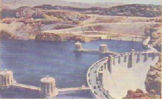
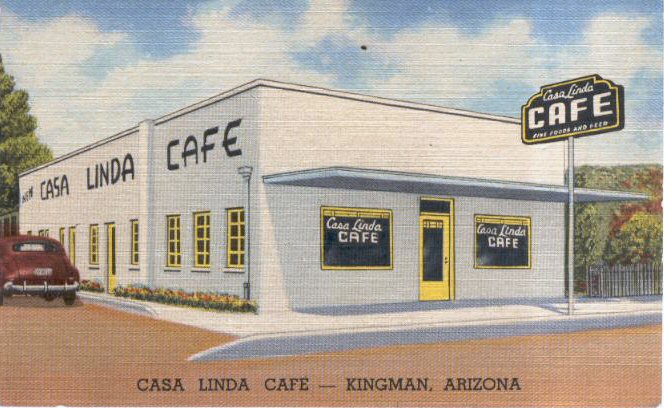
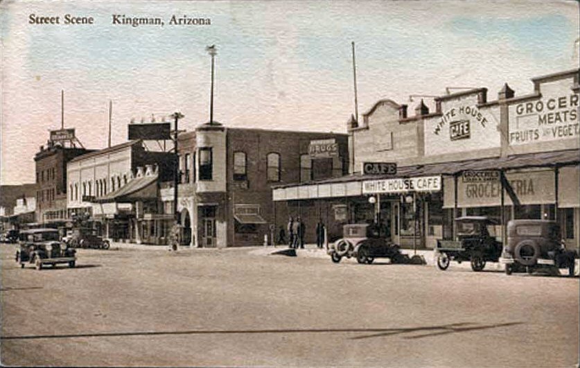
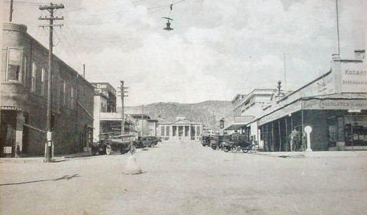
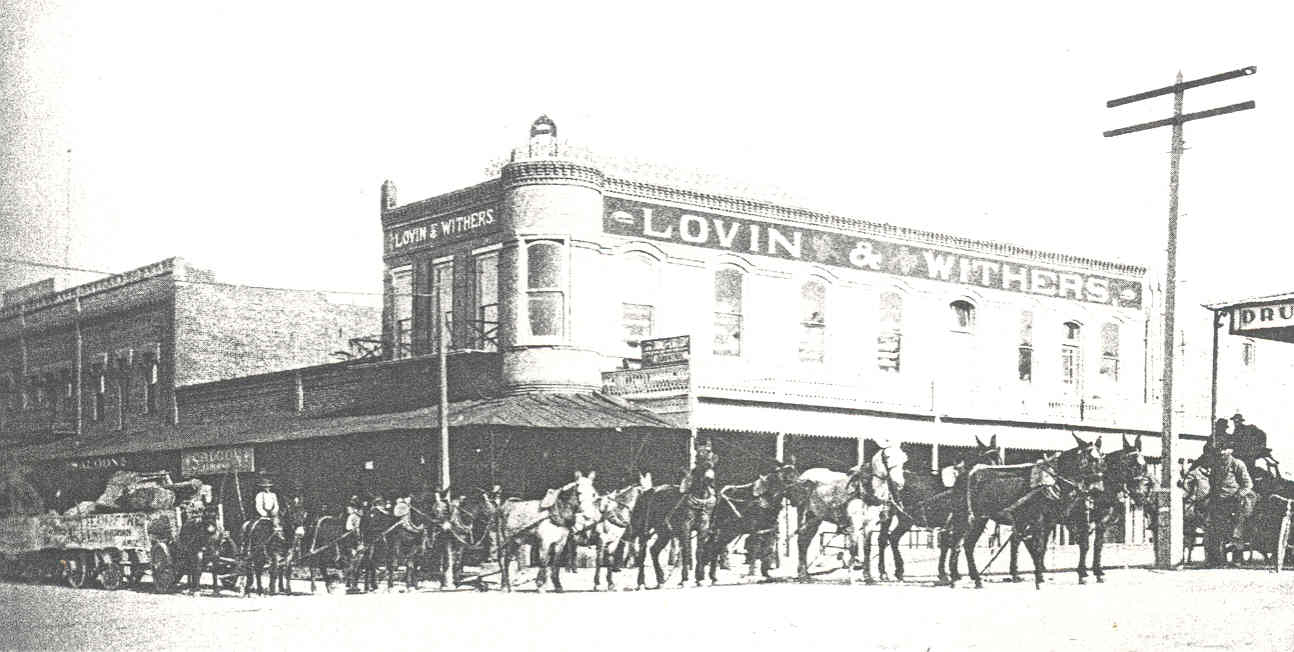
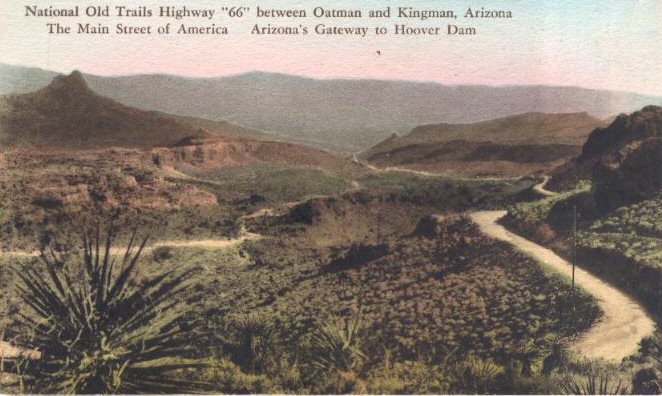
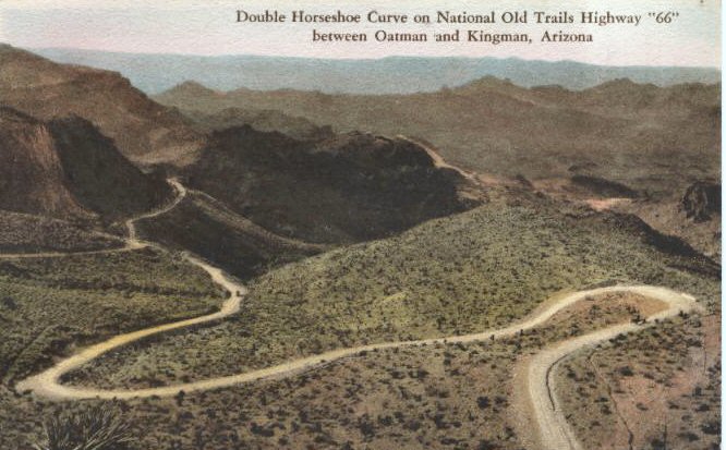
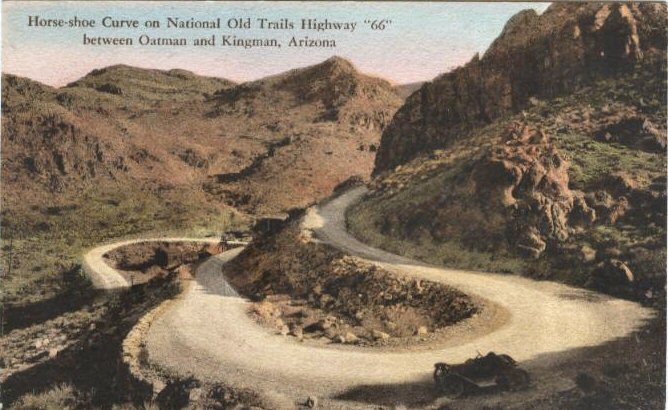
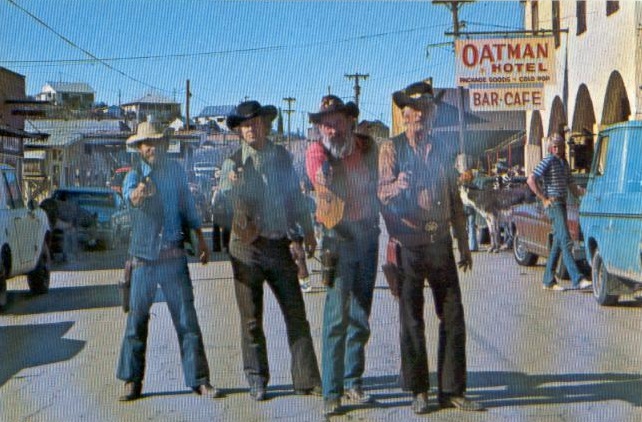
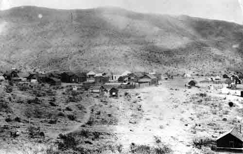
Bullhead City
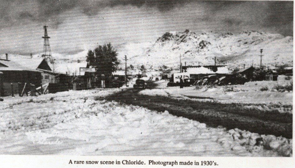
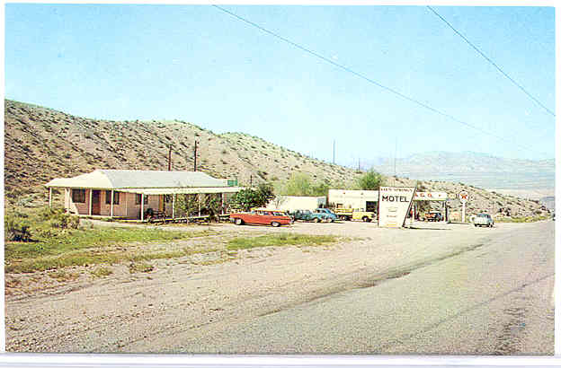
Chloride
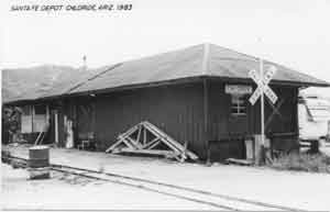
Chloride
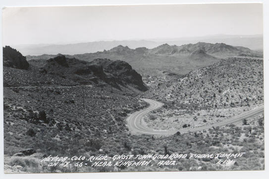
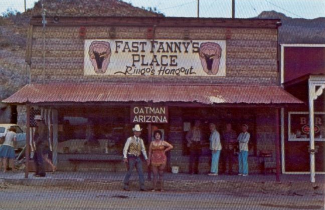
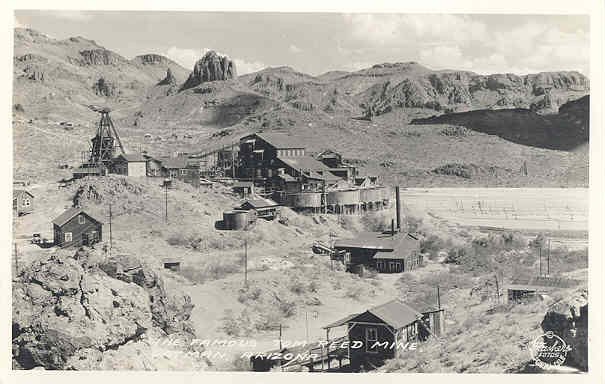
Goldroad
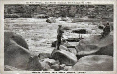
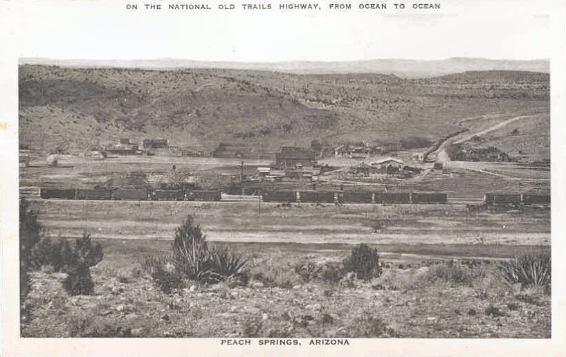
Contributed by Unknown; sources unknown
ohave County was one of the
original four Arizona counties created by the First Territorial Legislature in
1864. The northern border of the county was 37 degrees north latitude and the
southern boundary was the Bill Williams River. The western border was the state
of California and the eastern border was approximately 113 degrees, 20 minutes
west longitude. The Second Territorial Legislature in 1865 created Pah-Ute
county out of northern Mohave due to the increased number of farmers in the
Virgin and Muddy River valleys. However, in May 1866, Congress transferred most
of Pah-Ute and part of Mohave County (everything west of the Colorado River and
114 degrees west longitude) to the State of Nevada. Arizona Territory objected
to the loss and did not accept it until 1871. At this time they merged Pah-Ute
back into Mohave. The final change of Mohave's borders occurred in 1883 when the
Twelfth Legislature transferred the part of Yavapai County north of the Colorado
River and west of Kanab Wash to Mohave County. This portion is part of the
'Arizona Strip' which Utah had unsuccessfully attempted to annex in 1865.
Callville and St. Thomas (both now in Nevada) served as county seats for Pah-Ute
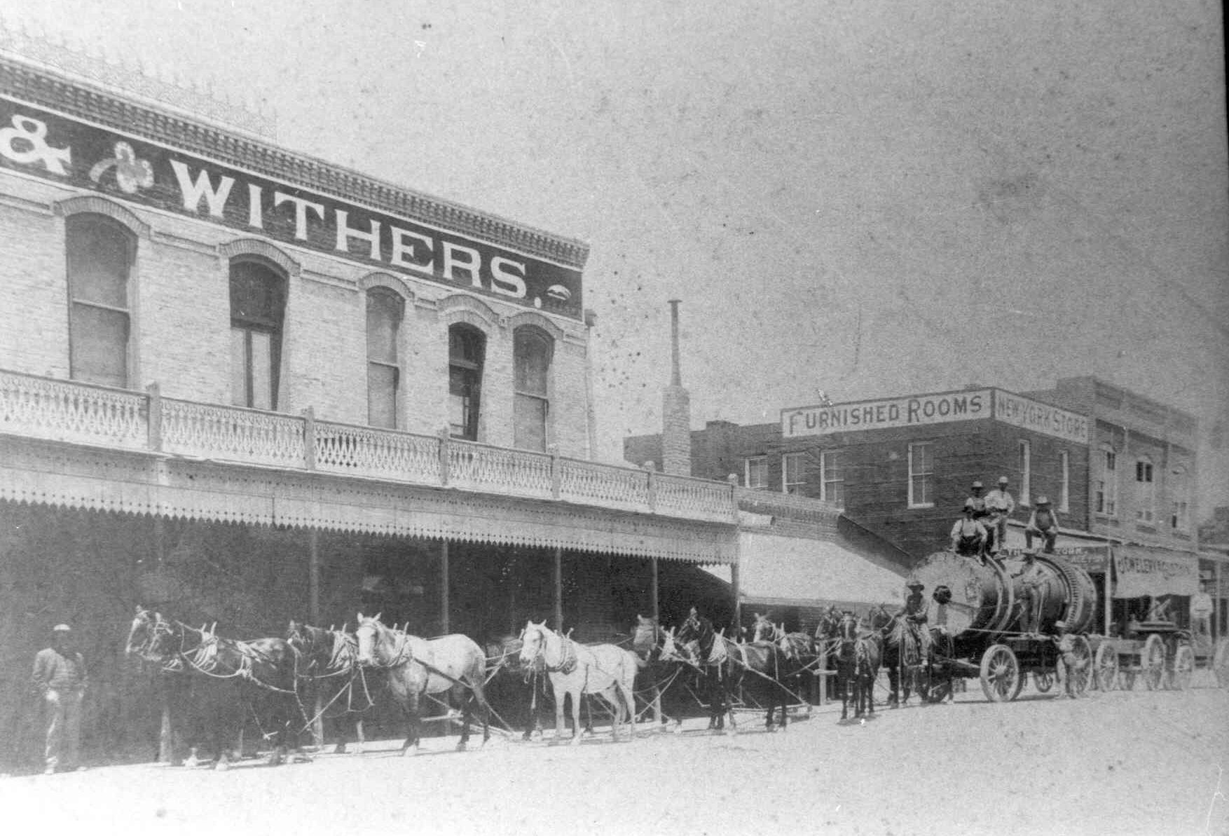
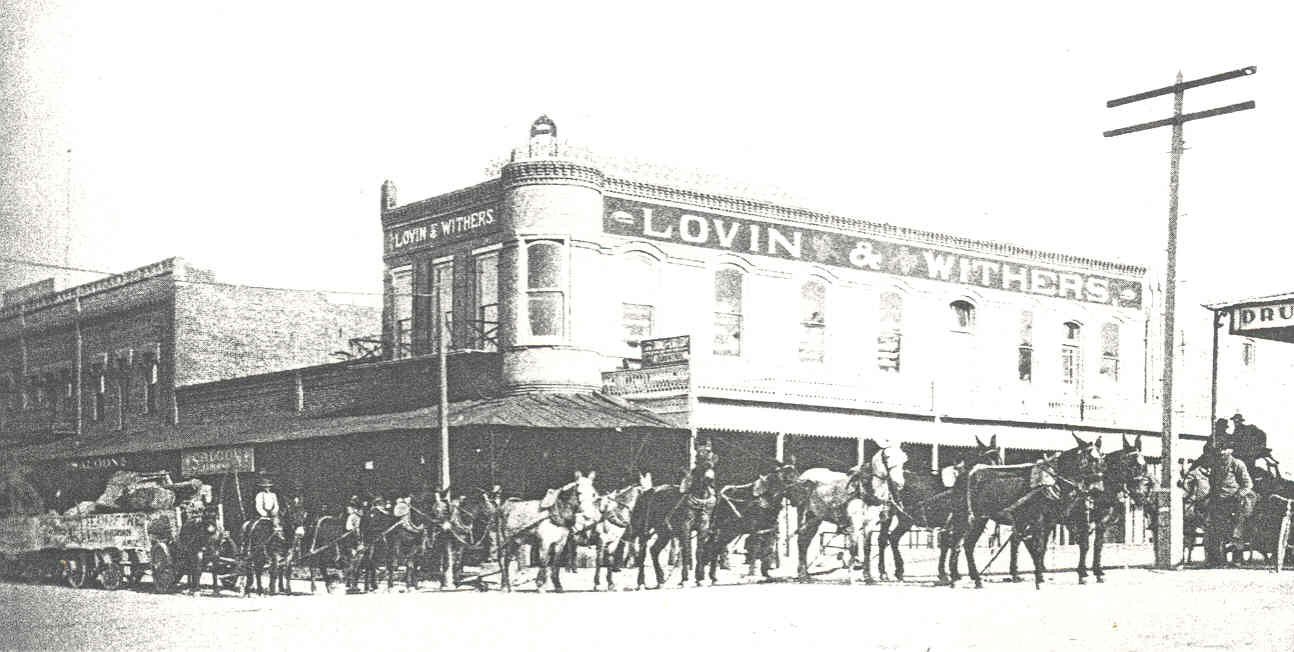
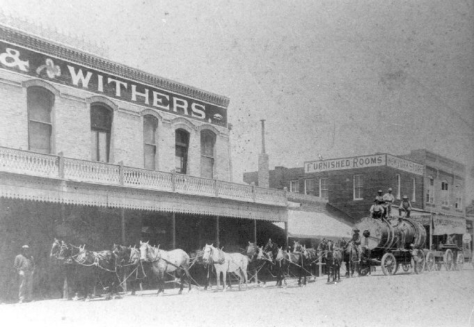
County. Mohave City, Hardyville, Cerbat, and Mineral Park all served as county
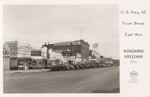
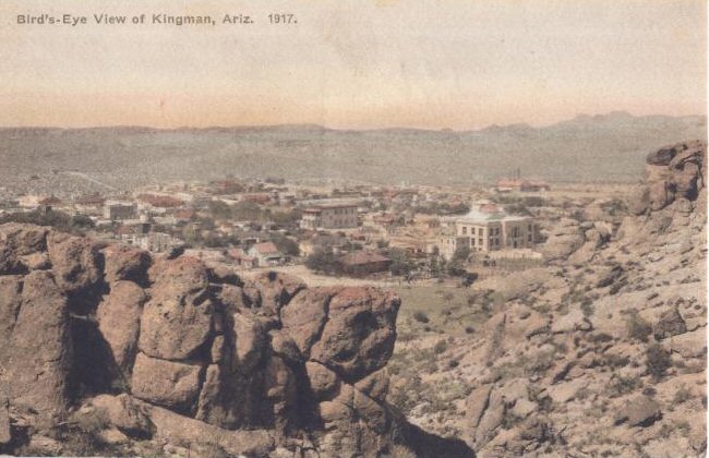
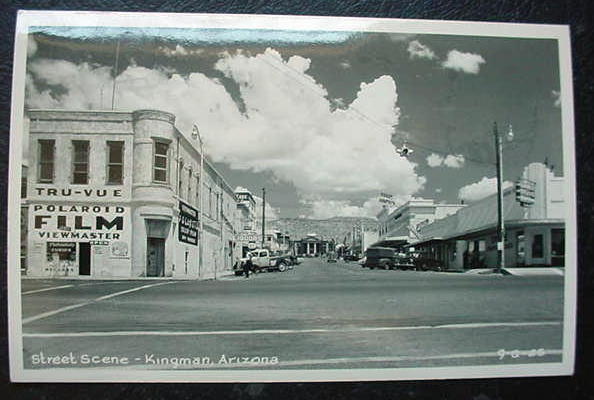
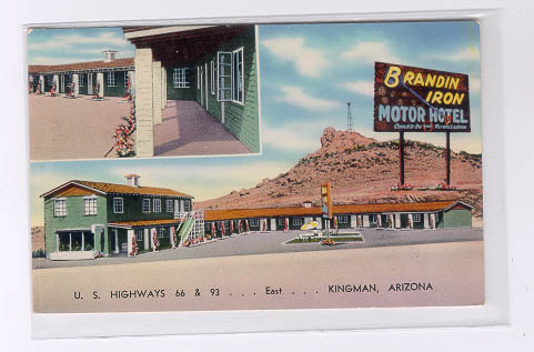
seats for Mohave until 1887 when the seat was permanently given to Kingman in a
general election.
The county includes 8,486,400 acres, making it the
second largest county in Arizona. The county is generally sparsely settled with
only 55,865 people in the 1980 census and 93,497 in 1990. Most of the county is
owned by the U.S. Bureau of Land Management. The county includes part or all of
three Indian Reservations: Hualapai, Kaibab-Paiute, and Fort Mohave. Other
federal lands within the county boundaries include Grand Canyon National Park,
Pipe Spring National Monument, Bill Williams National Wildlife Refuge, Havasu
National Wildlife Refuge, Lake Mead National Recreation Area, and Kaibab
National Forest. Lake Havasu State Park and Hualapai Mountain County Park are
other government-owned parks in the county.
The climate of Mohave County
is highly varied. Elevations range from a mere 482 feet above sea level at Lake
Havasu City to 8,417 foot Hualapai Peak southeast of Kingman. The entire county
is quite dry with some areas receiving less than 10 inches of annual
precipitation. Temperatures in January in the higher mountains average near
freezing while the average July temperatures in the southwestern portion of the
county are above 90 degrees.
The Spanish explorer Don Juan de Onate
followed the Bill Williams River to the Colorado River during his 1604 crossing
of Arizona. Later the Franciscan missionary Fray Francisco Garces crossed
through the middle of Mohave County in 1775-76 on a visit to the Yavapai
Indians. Indians in the Mohave County area included the Southern Paiute (north
of the Colorado River), and the Walapai (Hualapai) and Mohave south of the
river.
Various military expeditions crossed through the region during the
1850s. Captain Lorenzo Sitgreaves of the Army Corps of Topographical Engineers
mapped a possible wagon road to California through the area in 1851. Lieutenant
Amiel W. Whipple surveyed a possible railroad route in 1853-1854. Ex-Navy
Lieutenant Edward F. Beale was the leader of the next expedition in 1857. This
was the famous "Camel Experiment" by which the military determined that camels
were quite well suited to surviving in the "Great American Desert." Beale
retraced much of Whipple's survey and the wagon road built along the survey
route and used by some California-bound travelers bore Beale's name. Lieutenant
Joseph C. Ives crossed the region from west to east in 1858 on his way from the
Colorado River to Fort Defiance (on the Arizona-New Mexico boundary). He made
several side trips along the way, including one going down into the Grand Canyon
with several Indian guides. The military presence in earnest began with Fort
Mohave which was established in 1859 to protect the Colorado River crossing on
Beale's wagon road. Except for a short period between 1861 and 1863, the
military maintained the post until 1890 when it was turned over to the Indian
Service.
During the 1860s and 1870s, Mormon settlers came into the region
from the north. Their first permanent settlement in Arizona was Littlefield
(Beaver Dams) on the Virgin River. It was founded in 1864, wiped out by a flood
in 1867, and rebuilt in 1877. Other towns in Mohave County first settled by
Mormons include Bundyville, Colorado City, Pierce Ferry, Pipe Springs, and
Stone's Ferry. Towns that were formerly in Arizona but are now in Nevada include
Bunkerville, Callville, Las Vegas, Rioville, Saint Joseph, Saint Thomas, and
West Point.
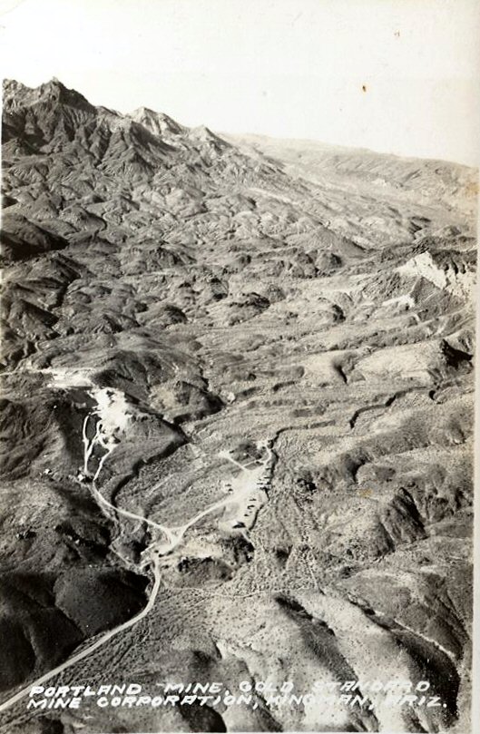
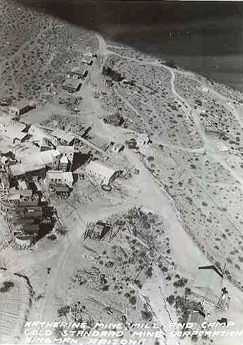
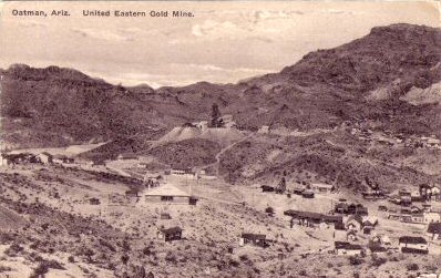
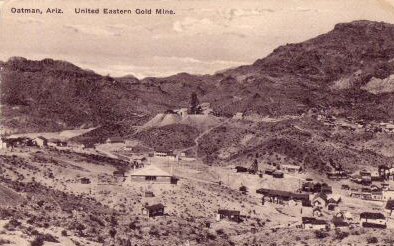
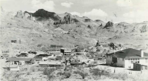
Gold, Silver, and lead-zinc mines brought many people to the
county from the mid-1800s to the early 1900s. Important mines included White
Hills (silver), Tennessee (lead-zinc), Golconda (lead-zinc), Moss (gold),
Goldroad (gold), Tom Reed and United Eastern (gold), McCracken (silver), and
Signal (silver). The Tom Reed and United Eastern gold mines were the richest
gold mines in Arizona, operating until the 1930s.
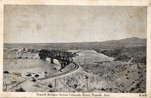
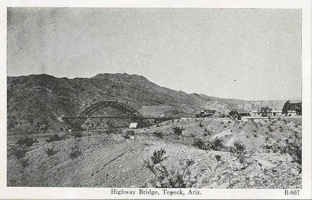
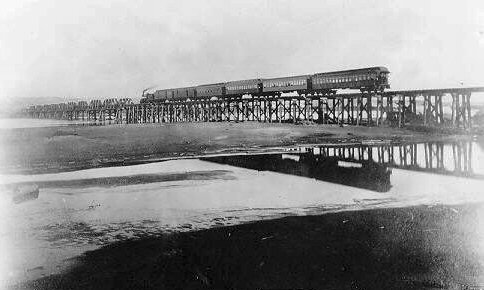
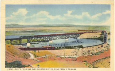
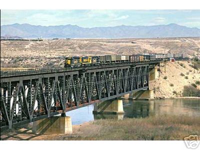
The Atlantic and
Pacific Railroad (later to become the Atchison, Topeka and Santa Fe) crossed
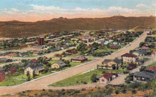
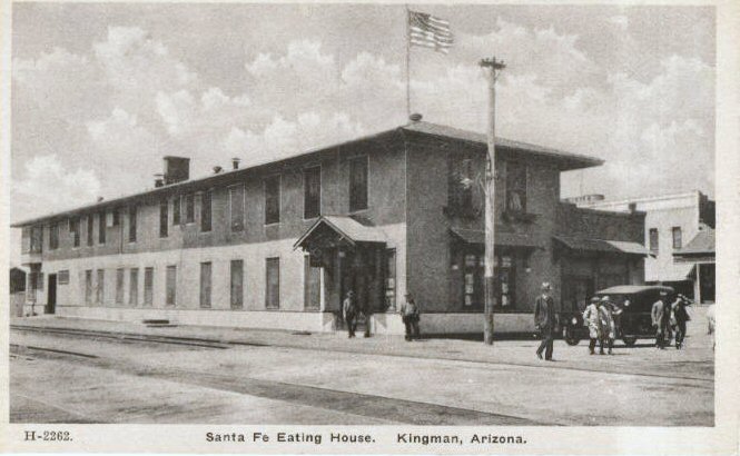
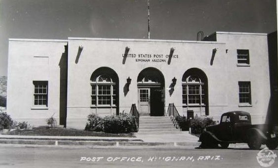
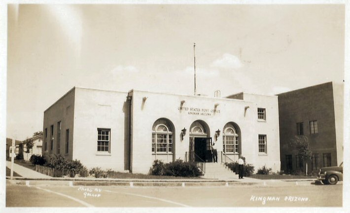
Mohave County, reaching the Colorado River in 1883. Kingman was one of the towns
founded along the main line.
Contributed by Mary Elizabeth "Beth" Vender Fay (4 Mar 1970 - 12 Jan 2003), a past Mohave County Coordinator
Copyright © 1996- The USGenWeb® Project, AZGenWeb, Mohave County

This page was last updated
07/12/2026